
Pioneering Technological Solutions for Humanitarian Challenges in Africa
People often ask how they can make a difference. They see injustice, inequality, and challenges too vast to tackle alone. But real change begins with a single action—a commitment to something better.
Nonprofits exist to be that force for change—not for profit or recognition, but for people, communities, and the future. They fight for justice, protect the environment, and strengthen societies. And now, more than ever, they harness the power of Geographic Information Systems (GIS) to drive meaningful transformation.
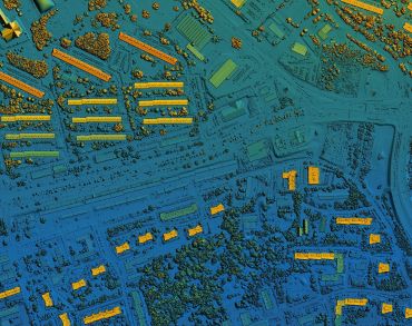
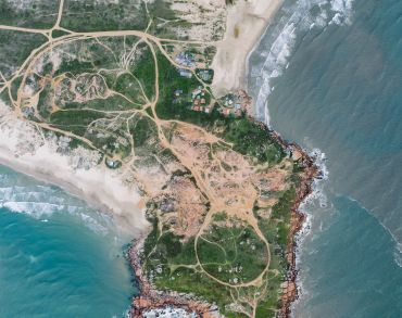
Facing complex social and environmental challenges, nonprofits need the right tools to maximize their impact. GIS empowers them to visualize critical issues, make data-driven decisions, and advocate for sustainable solutions. By leveraging spatial insights, they turn information into action—creating lasting change where it’s needed most.
With GIS, nonprofits can move beyond spreadsheets and static reports, transforming data into dynamic, interactive stories that inspire action. Whether mapping food insecurity, tracking environmental shifts, or advocating for equitable policies, GIS helps organizations turn insight into impact—bringing solutions to life in ways that drive real-world change.
Here’s how nonprofits can harness the power of GIS:
Nonprofits are harnessing the power of GIS to tackle the world’s most pressing challenges—and there’s still so much more to do. Change starts with understanding the power of location.
Stay with us as we explore how GIS is transforming nonprofit work, driving impact, and creating a better future. Want to stay informed? Sign up for our Equity in Action newsletter here: https://tausigeoncuslting/EquityNonprofit and be part of the movement for meaningful change.

Tausi GeoConsulting is a Nairobi-based technology consulting firm dedicated to solving Africa’s humanitarian challenges through cutting-edge technology.
Latest News
Newsletter
Stay ahead with the latest innovations, transformative projects, and expert insights from Tausi GeoConsulting.
© Copyright 2025 Tausi GeoConsulting.